?unique=bf10b24)
?unique=bf10b24)

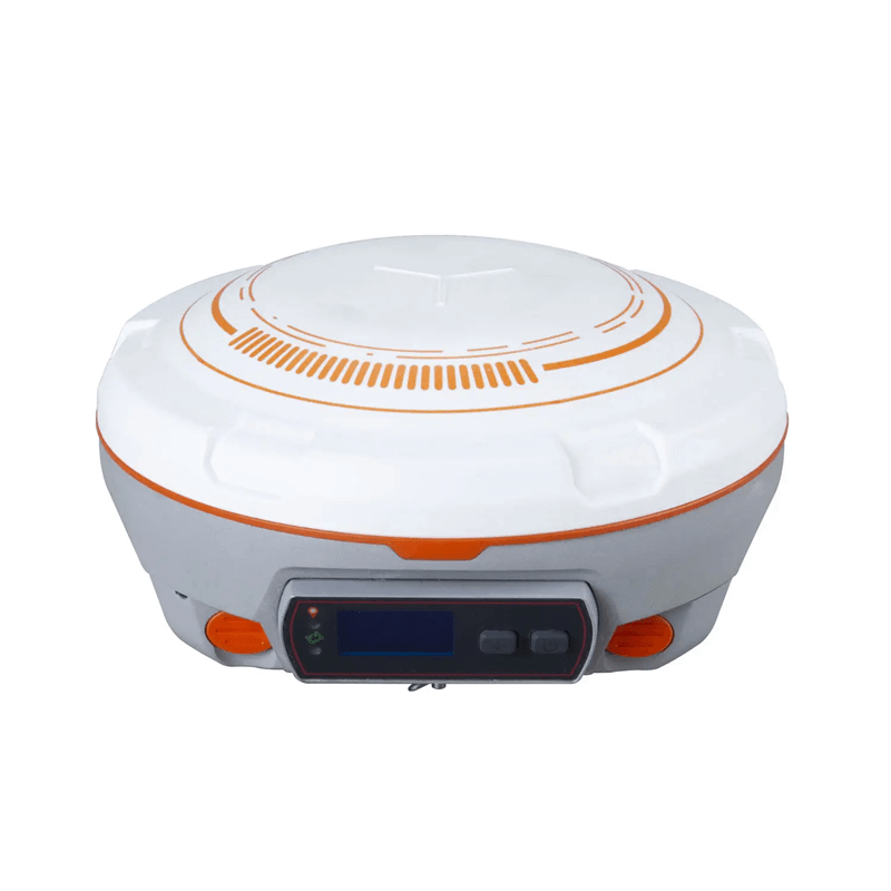
ComNav N5 GPS / GNSS Receiver
Embedded with IMU engine, upgraded with K8-platform for full constellation tracking, and equipped with long range enhanced UHF, user-friendly OLED display, 6800mAh large Li-battery, N5 GNSS receiver provides a more convenient, reliable, and efficient experience for field workers, especially when work together with Survey Master data collection software.
Product Description - ComNav N5 GPS/GNSS Receiver
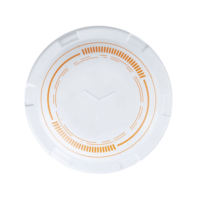
Full-constellation tracking
The N5 tracks 1198 channels for all running satellites constellations, which includes GPS, GLONASS, Beidou, Beidou global, Galileo, QZSS, IRNSS, SBAS and L-Band.
IMU
In-built IMU and adopted self-developed core algorithm, with the accuracy less than 2.5cm, ensure the accuracy anywhere and anytime, without being affected by geomagnetic.
Enhanced OLED Display
The sunlight readable OLED display provides a clear, easy-to read viewing experience, and handles all of surveying operations on screen freely.
Specifikacije
| Satellite tracking | GPS: L1C/A, L2C, L2P, L5, BeiDou Global Signal: B1C, B2a, B2b, GLONASS: L1C/A, L1P, L2C/A, L2P, L3, Galileo: E1, E5a, E5b, E6, E5 AltBOC, QZSS: L1C, L2, L5, L1C/A, IRNSS, L- Band, BeiDou: B1, B2, B3, SBAS: WAAS, EGNOS, MSAS, GAGAN, SDCM |
| Static and Fast Static | Horizontal: 2.5 mm + 0.5 ppm, Vertical: 5 mm + 0.5 ppm |
| Long Observations Static | Horizontal: 3 mm + 0.1 ppm, Vertical: 3.5 mm + 0.4 ppm |
| ACCURACY - RTK H/V (MM + PPM) | Horizontal: 8 mm+1 ppm, Vertical: 15 mm+ 1 ppm |
| UHF modem | Transmit power: 0.5-2 W adjustable, Range: 15 km in ideal environment |
| 4G modem | LTE-FDD: B1/B2/B3/B4/B5/B7/B8/B12/B13/B18/B19/B20/B25/B26/B28 LTE-TDD: B38/B39/B40/B41 WCDMA: B1/B2/B4/B5/B6/B8/B19 GSM: B2/B3/B5/B8, B19/B20/B25/B26/B28, LTE-TDD: B38/B39/B40/B41, LTE-TDD: B38/B39/B40/B41 WCDMA: B1/B2/B4/B5/B6/B8/B19, GSM: B2/B3/B5/B8 |
| Brand | ComNav Technology Ltd |
| Size (W x H) | 15.5 cm x 7.3 cm |
| Weight | 1.2 kg with two batteries |
| Power Consumption | 1.7 W |
| Input voltage | 7-28 VDC |
| Battery life | 2 x 3400 mAh, up to 25 hours typically |
| Internal Memory | 8 GB |
| Operating temperature | -40 C to + 65 C (-40 F to 149 F) |
| Storage Temperature | -40 C to + 85 C (-40 F to 185 F) |
| Humidity | 100% no condensation |
| Waterproof and Dustproof | IP67 |
| Shock | Designed to survive a 2 m drop onto concrete |
| 1 Serial port (7 pin Lemo) | Baud rates up to 921,600 bps |
| WIFI | 802.11b/g/n |
| 2 LEDs | indicating Satellites Tracking and RTK Corrections data |
| 1 Display | OLED Display |
| Bluetooth | V4.0, compatible with Windows OS and Android OS |
| Calibration-free IMU integrated for Tilt Survey | Up to 60 tilt with 2.5 cm accuracy |
| Warranty | 1 year |