
GeoMax Zenith 06 GPS / GNSS Receiver
Product description - GNSS Receiver GeoMax Zenith 06 GPS
Learn fast, start working faster
The simple rover and user-friendly field software eliminate the need for expensive training and experience to produce reliable outcomes. The software has an intuitive workflow, developed side by side with the customer, which allows for quick familiarisation. And if questions arise, real-time assistance from the GeoMax support team is available at any time via TeamViewer. Additionally, you can benefit from a range of tutorials in the X-PAD 365 Virtual Training Academy
Seamless and intuitive workflow
X-PAD software, GeoMax field controllers and the Zenith06 GNSS are carefully chosen and developed to deliver a carefree and efficient workflow. This begins with the accelerated connection process thanks to the innovative and unique QR-iConnect functionality. Forget the times of tedious sensor search and selection by toggling through extensive device lists. Simply scan and go!
Efficient and safe data management
X-PAD 365, the web-based GeoMax cloud platform, was created to address data management and collaboration challenges surveyors and construction professionals meet every day.
Working with the Zenith06, data can be accessed, stored, and shared via the X-PAD 365 File Manager. Your data is always safe, thanks to automatic backups.
Furthermore, the Collaborative Survey and Stakeout feature allows several users to work on the same surveying or stakeout project together, sharing real-time surveyed points and drawings and immediately see the progress.
Convenient use
The Zenith06 is an ideal instrument for a full day's work in the field. With its compact, lightweight design, the smart antenna is easy to carry and gentle on your body. This makes jobs such as utility surveying and road construction with hundreds of points across a large area much more convenient.
Reliable Partner
Hexagon is known for driving innovation and technological progress. As a part of this group, GeoMax can guarantee its solutions work when you do. The maintenance for X-PAD field software comes at no extra cost and an active X-PERT service will grant access to X-PAD improvements.
Specifikacije
| Brand | GeoMax International GmbH |
| Channels | 184 channels, dual-frequency, multi-constellation |
| Constellations tracking | BeiDou, Galileo, GLONASS, GPS, QZSS, SBAS |
| ACCURACY - RTK H/V (MM + PPM) | Hz: 2 cm + 1 ppm V: 3 cm + 1 ppm |
| ACCURACY - STATIC H/V (MM + PPM) | Hz: 2 cm + 1 ppm V: 3 cm + 1 ppm |
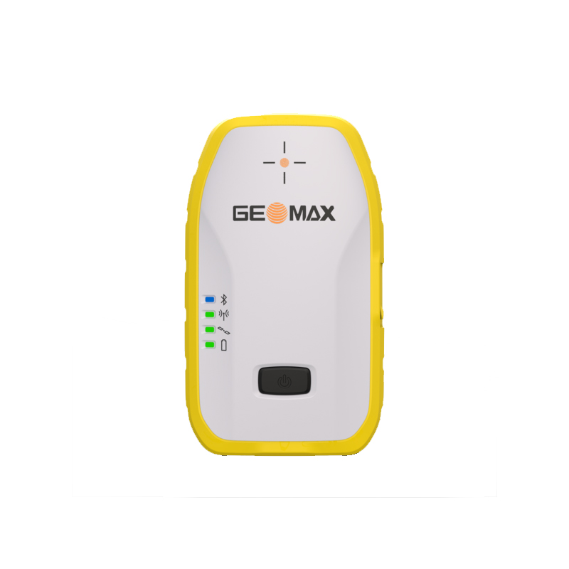
| Keyboard | On/off butto |
| 4G LTE MODEM | Available on Zenius controller |
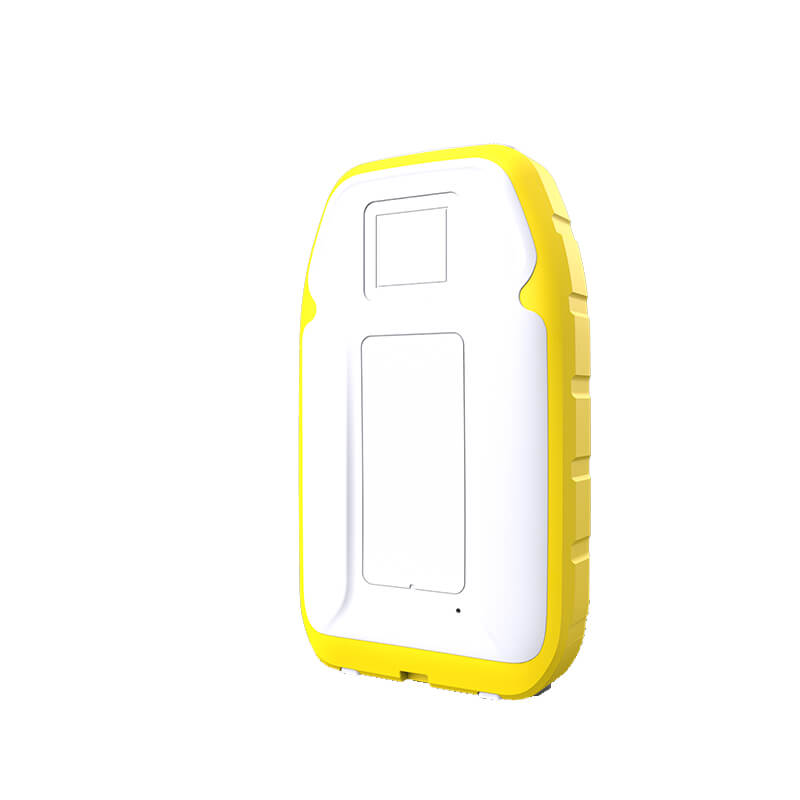
| Weight | 340 g |
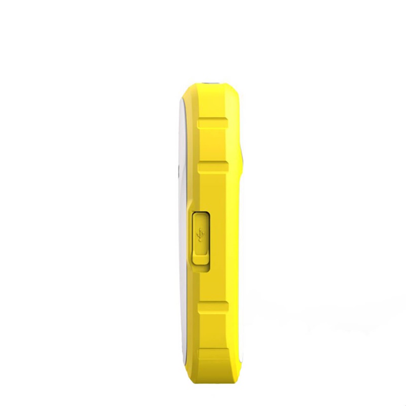
| Comunication port | USB Type C |
| Dimensions | 139 mm x 80.6 mm x 30.6 mm |
| Warranty | 1yr Zenith06 Additional Warranty |